It’s 11 Am, Sunday, August 22 – time to embark on our yearly two-day camping trip in our retro 1973 16′ Bell camper.
Megan demurs on the invitation (can’t imagine why) and she and the dog stay in town with a friend.
After one full day of preparations David and I are ready to roll:

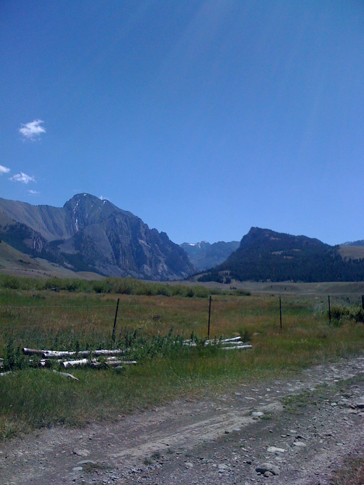
We head west out of Idaho Falls through Arco, and Mackay, Idaho, to a remote campsite off Trail Creek Road. My brother Eric is following us in his camper. We love having him along. He knows the central Idaho wilderness as well as any person on earth.
I capture the view of the Lost River Range from my car window:

and the reflection of Eric’s camper in our extended rear view mirror.
It’s about a 2 1/2-hour drive to our campsite. It’s cloudy and rainy. But that’s okay. We need to rest up for the rigorous hike Eric has planned for tomorrow …
It’s Monday, now, and the only full day we have. It’s sunny! And cool. Perfect for a long hike. We drive in on a dirt road alongside Mt. Borah.

At 12,662 feet, it’s Idaho’s tallest peak.
Eric has suggested a hike up a remote trail he had taken 25 years ago. Although, to get to the trailhead you have to drive over 16 miles of dirt road that takes you behind Mt. Borah and its neighboring peaks in the Lost River Range.
No problem!
Through the first mile, that is. Then we get a flat tire.

But, Hey! Those two fine strapping men are right on, uh… under it!
We head onward.
We’re on the right road, Eric says.
The road to Upper Pahsim..io? 12 more miles?
Sign ahead…

Cattle guard? What’s that supposed to mean?

Oh. We’re intimidated now.

They’re guarding us from all sides.
Hey! Back up! What does that sign say?

“Not advised for trailers or cars?” … Hmmm. Should we just turn around?
No way!
We thrash, bump, and break, at about 5 mph for the next two hours.
“The road is much more weathered and worn than I remembered it being” says Eric.
Oh. Oh.

As opposed to what?

Are you sure we aren’t driving down some dirt road in Afghanistan?
That’s Corruption Mountain in the distance.

“Take the West Fork” says Eric. I just wish we had cell phone coverage and a couple more spare tires. At what point would we be missed at home? How many days before we’d hope to see helicopters searching for us overhead? How would they know where to search for us? Did we even think to inform anyone of where we were going? Are we going to die?
But, finally, Thank God, we do arrive safely at the trailhead –

2 miles to Merriam Lake!
And over a thousand vertical feet, we find out.
That last half-mile of the hike is particularly gruelling.
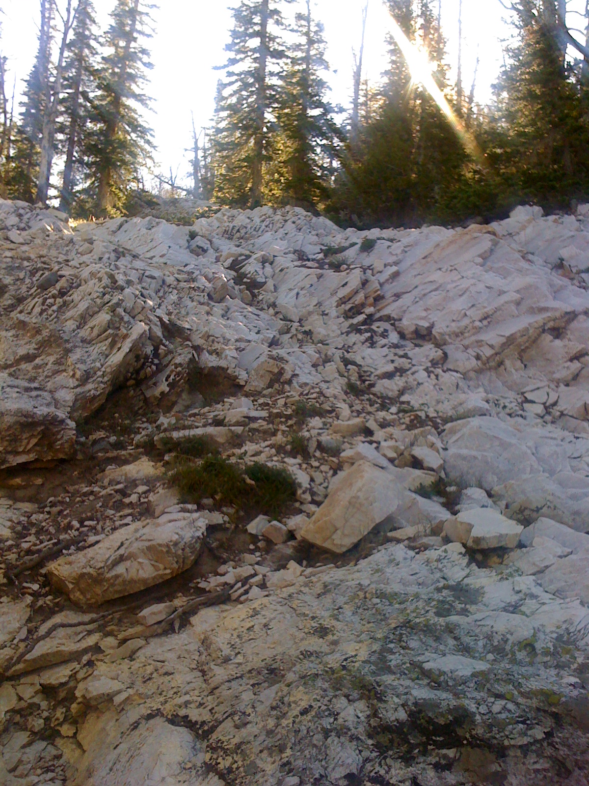
As I claw my way up this rock face, the trek starts to feel like a death march in Afghanistan.
But David and I make it to the lake,

a good twenty minutes behind Eric, who we see sitting on that log down there. Yeah, well, he’s half man, half mountain goat.
We flop. And snack. And skip rocks.

And fish. Here is Eric fishing:

Here is David fishing:

David barely gets his line untangled and in the water, when it’s time to head back.

“On top of the world, Ma!”
We’re surrounded by rugged peaks:

As we head down, down. Don’t lose your footing over that rock face!

My knees and ankles hurt.
We’re most of the way down now …

Yay! Ain’t life grand!
We have to drive back the way we came, over that same 16 miles of dirt road.
And leave the magnificent view of Mt. Corruption behind us.

Back across the creek … (had I mentioned that?)

The sun is dropping over the mountains now:

And disappearing:

We’re almost out now – back to where we got the flat tire.
The sun is still shimmering over Mt. Borah:
![]()
There you see the ‘Chicken Out Ridge’ on one face, that leads to the top.
Magnificent Borah:

It’s 9PM now, and, starving and exhausted, we decide to drive into Mackay for dinner.
There you see Mt. Leatherman – that peak in the middle. We were hiking just behind it just hours ago!

The full moon is rising!

Dark is descending as we approach Mackay:

We stuff ourselves with hamburgers and onion rings at Ken’s Club in Mackay and then drive back to the campsite. We stay up to watch the full moon rise above our heads and light up the landscape around our campfire.
On Tuesday we jump up and head home. We are driving out now on Trail Creek Road, with the Lost River Range sprawled out in its glory in front of us …

That peak on the left is Mount Borah.
We turn onto highway 93 toward Mackay.

And make it back home by 1 pm, Tuesday.
The camper is parked in our driveway.

Now we have to clean up the mess.
And in my mind I keep wondering if, during that 50-hour camping trip, we sneaked in a trek across Afghanistan.
Tags: Mount Borah, Mount Corruption

August 27, 2010 at 9:03 pm |
David fishing? Yeah? Well I know a lot more about knot theory than Eric does!
August 28, 2010 at 3:22 am |
It looks like a fun trip, except for the flat tire, the two hour drive on a bumpy dirt road and the dirty camper at the end. The lake does look wonderful. I am secretly jealous that you got away!
August 28, 2010 at 8:03 pm |
Nice trip,Jody Those mountains sure are rugged and beautiful. I bet it was fun!
How high did you climb up? The kids and I climbed a 3200 ft. mountain Aug. 22nd. Here in Alaska.we had a nice trail up to the top. The kids decided to go barefoot!! Even 5 year old Lance made it to the top! We saw a lot of bear scat, marmots and a spruce hen.It was fun!