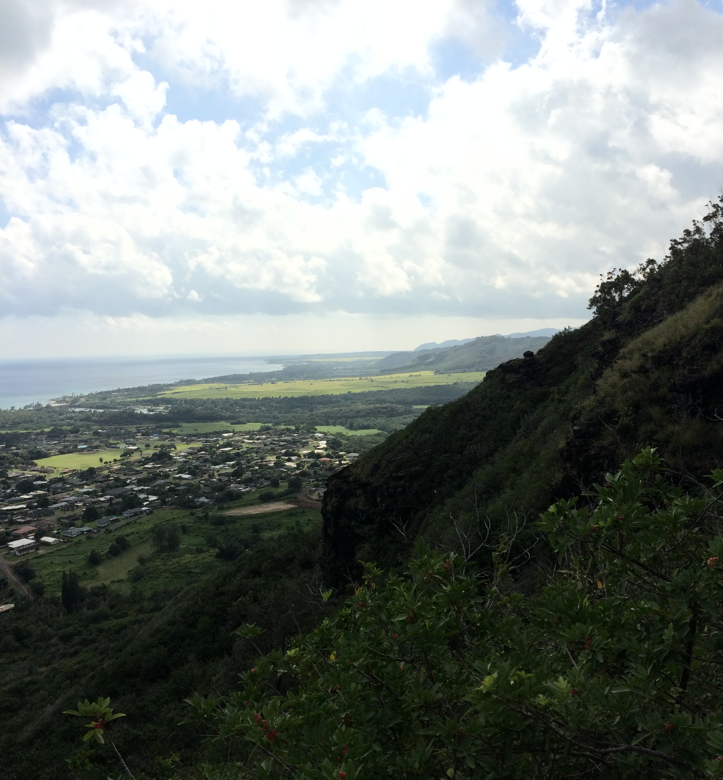
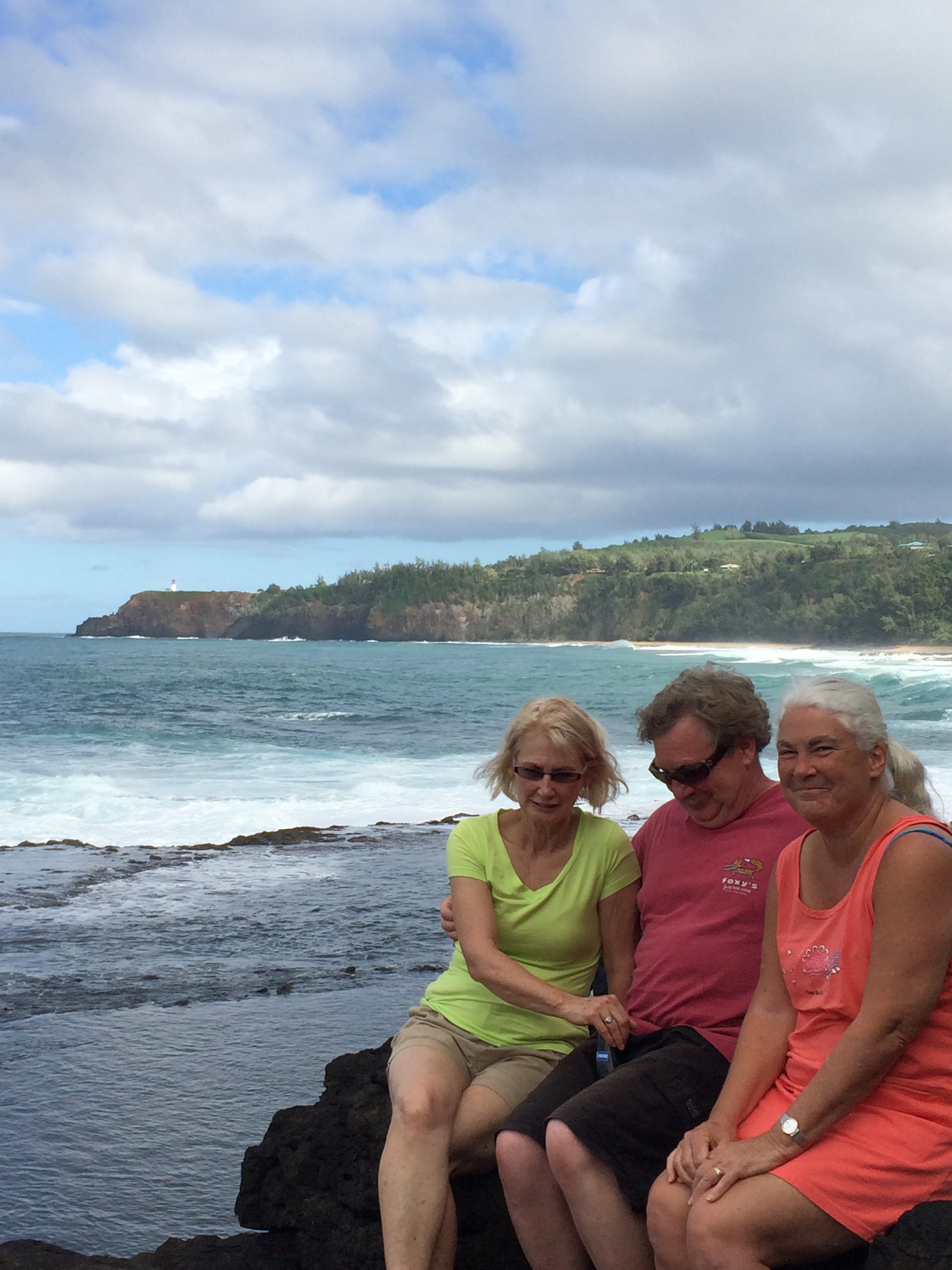
It’s Friday morning, January 24 – the last full day of our trip. Steph and Victor have several items on their agenda to attend to. Eric is pressing David and me. “Let’s do that hike you refused to do last year – to Hanakapi’ai Falls! – if not today then when would we ever do it?” (Okay, Eric, I guess if it’s on our bucket list, we old farts better do it NOW…) Last year we made it as far as Hanakapi’ai beach (I blogged about it last February) on the Kalalau trail, an 11-mile ridge trail along the Napali Coast.
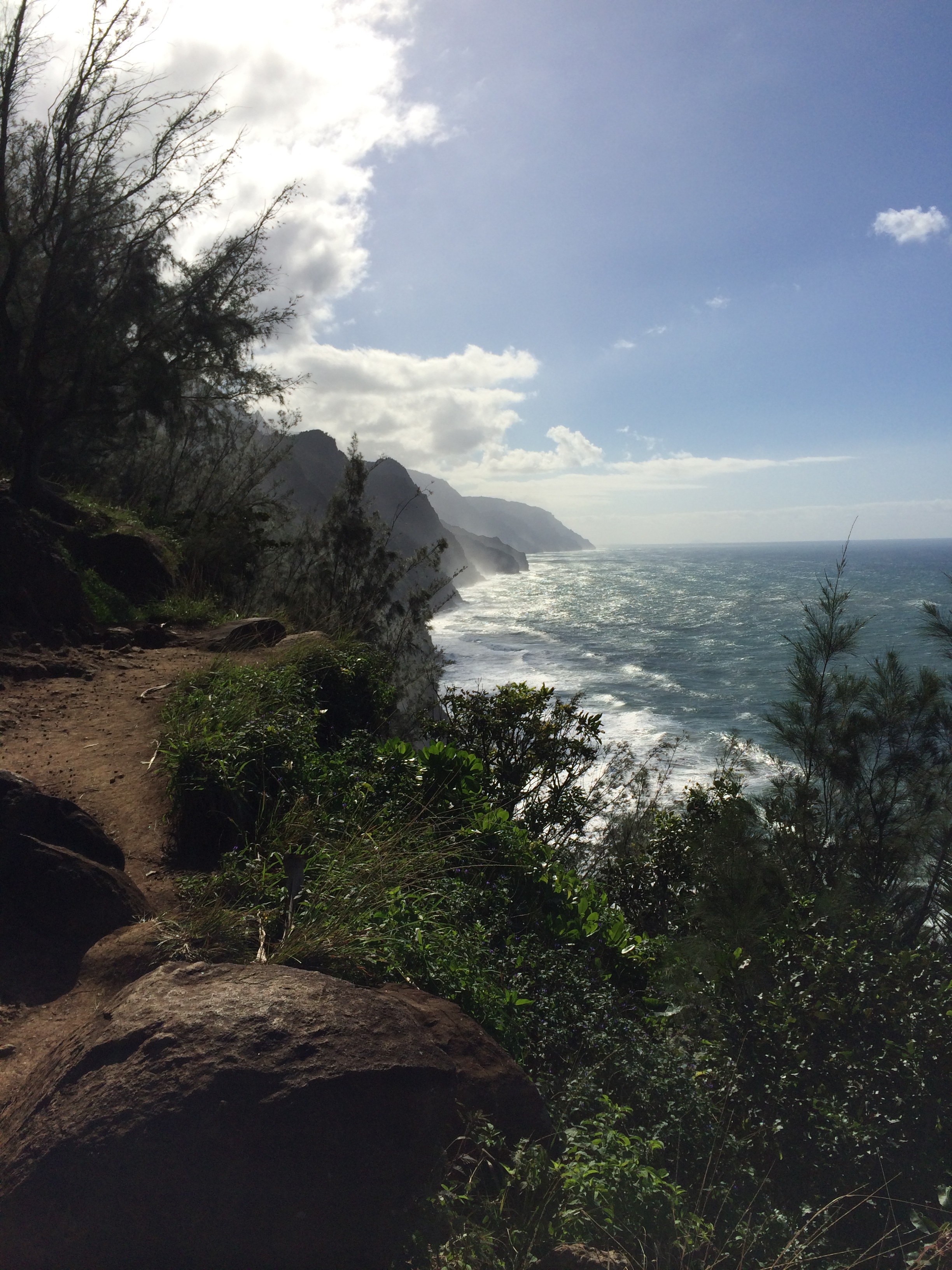
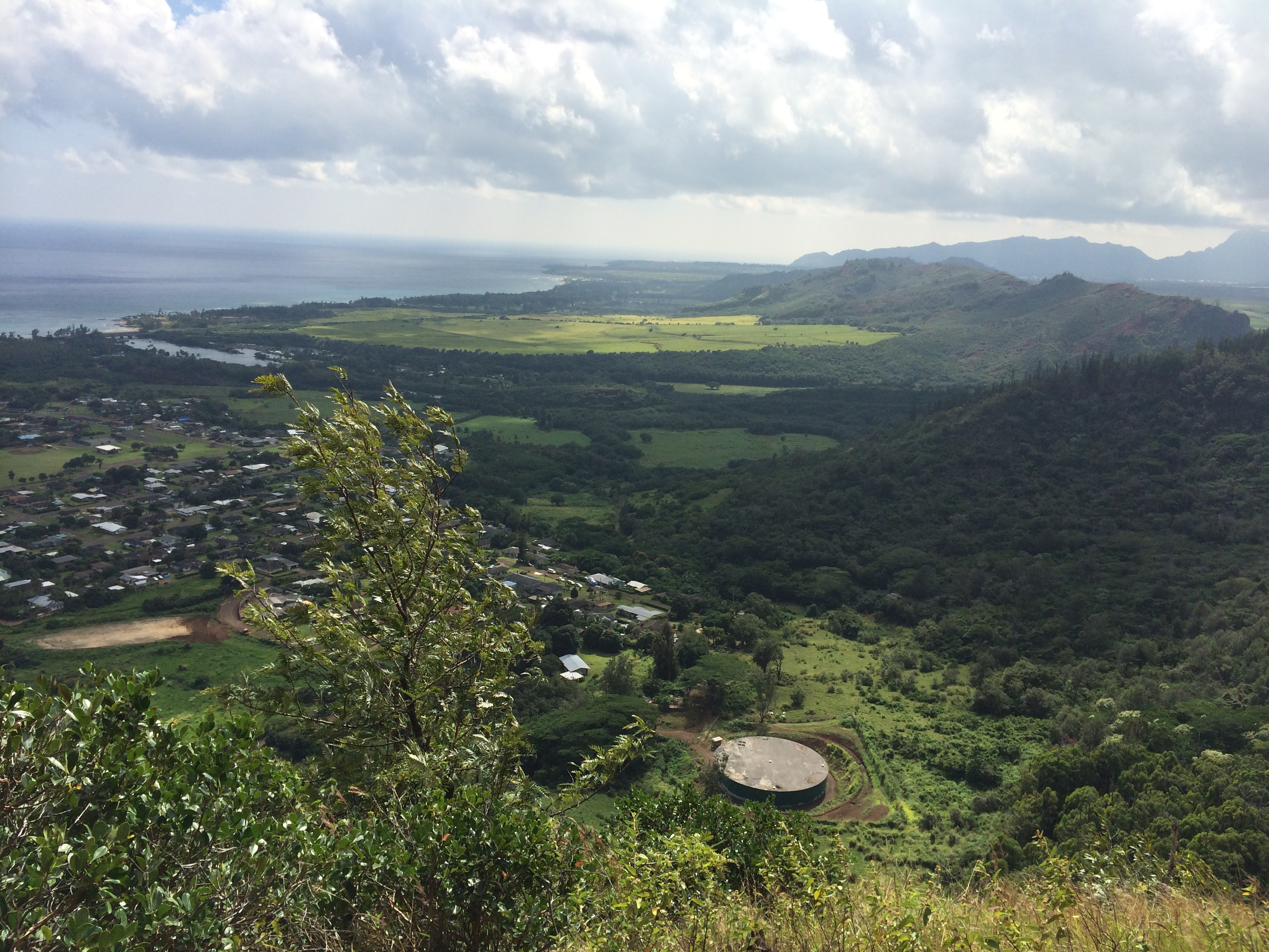
Hanakāpīʻai Beach is about 2 miles from the start of the Kalalau Trail but the trail climbs 600-ft to the ridge and then drops 600-ft to the beach.

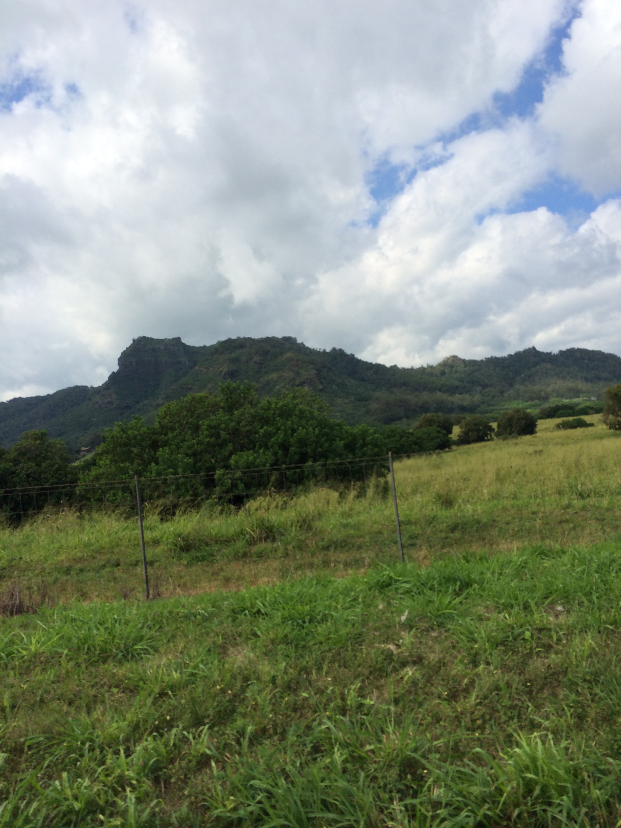
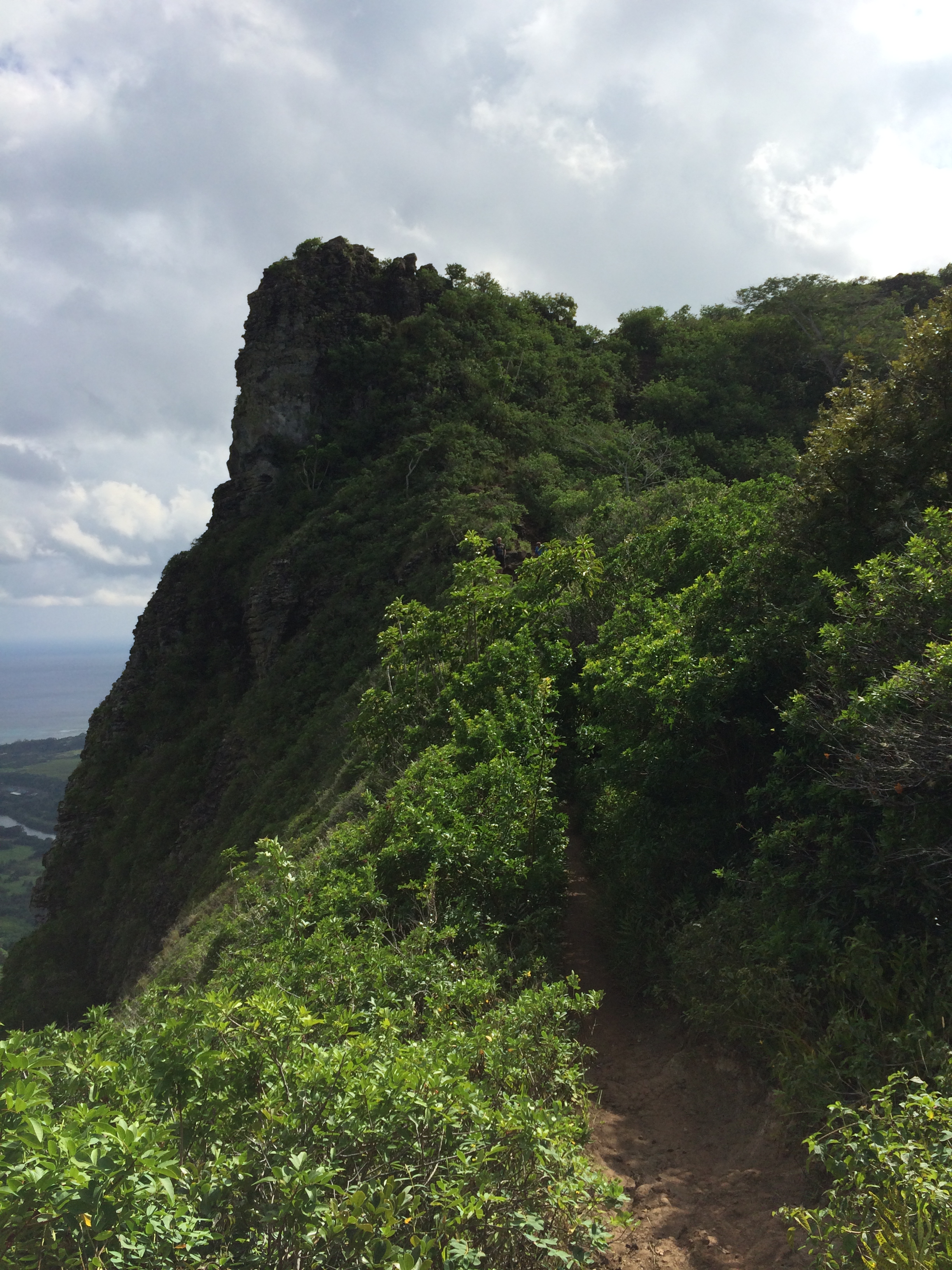
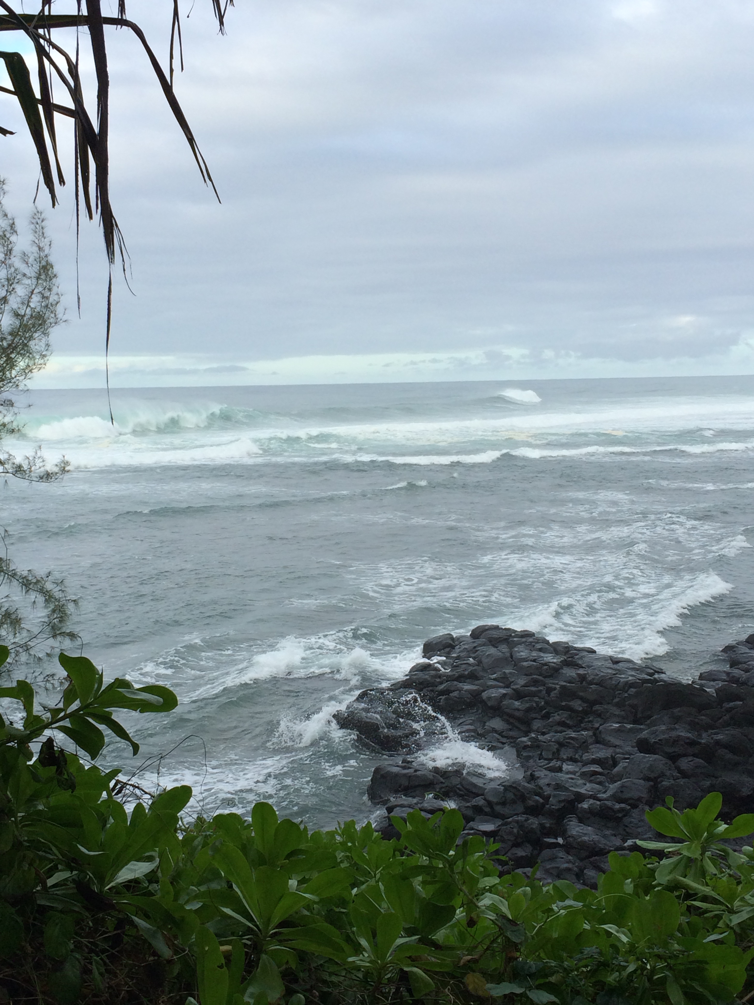
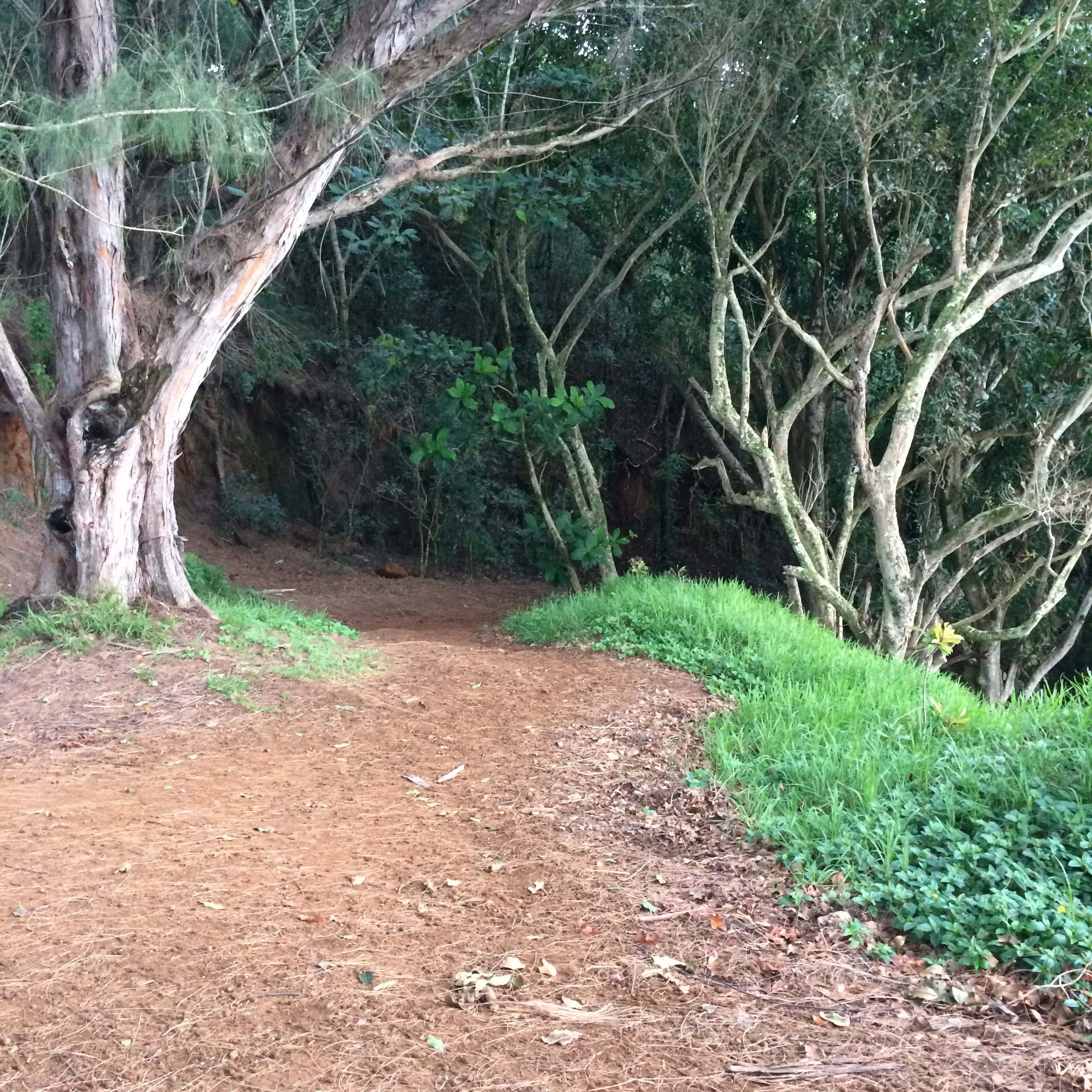
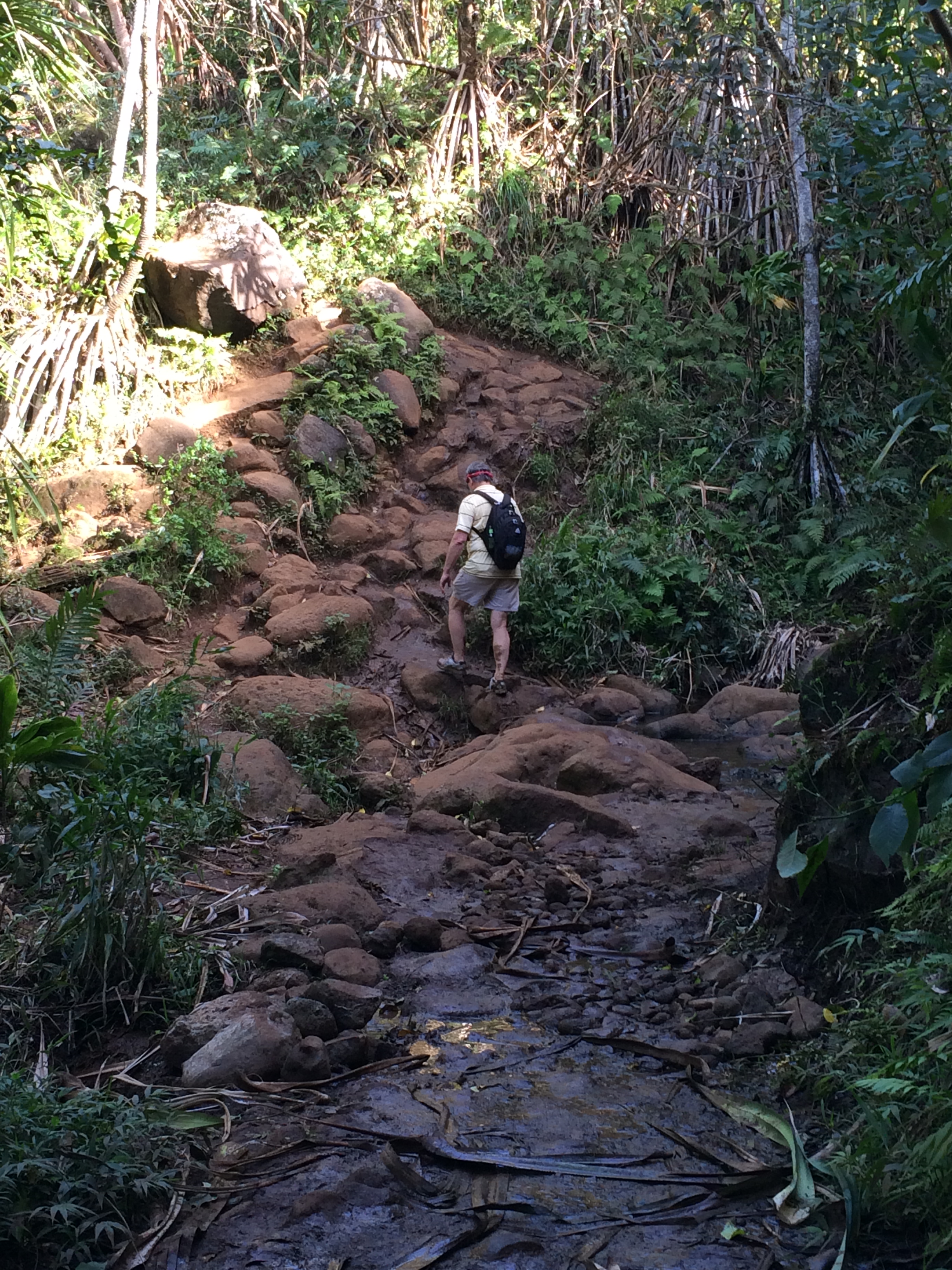
It’s a very popular hiking trail, but you’d better wear firm footwear and not do it during or after a solid rain. Parts of the trail are rocky and always muddy.
But today the weather is purr-fect!

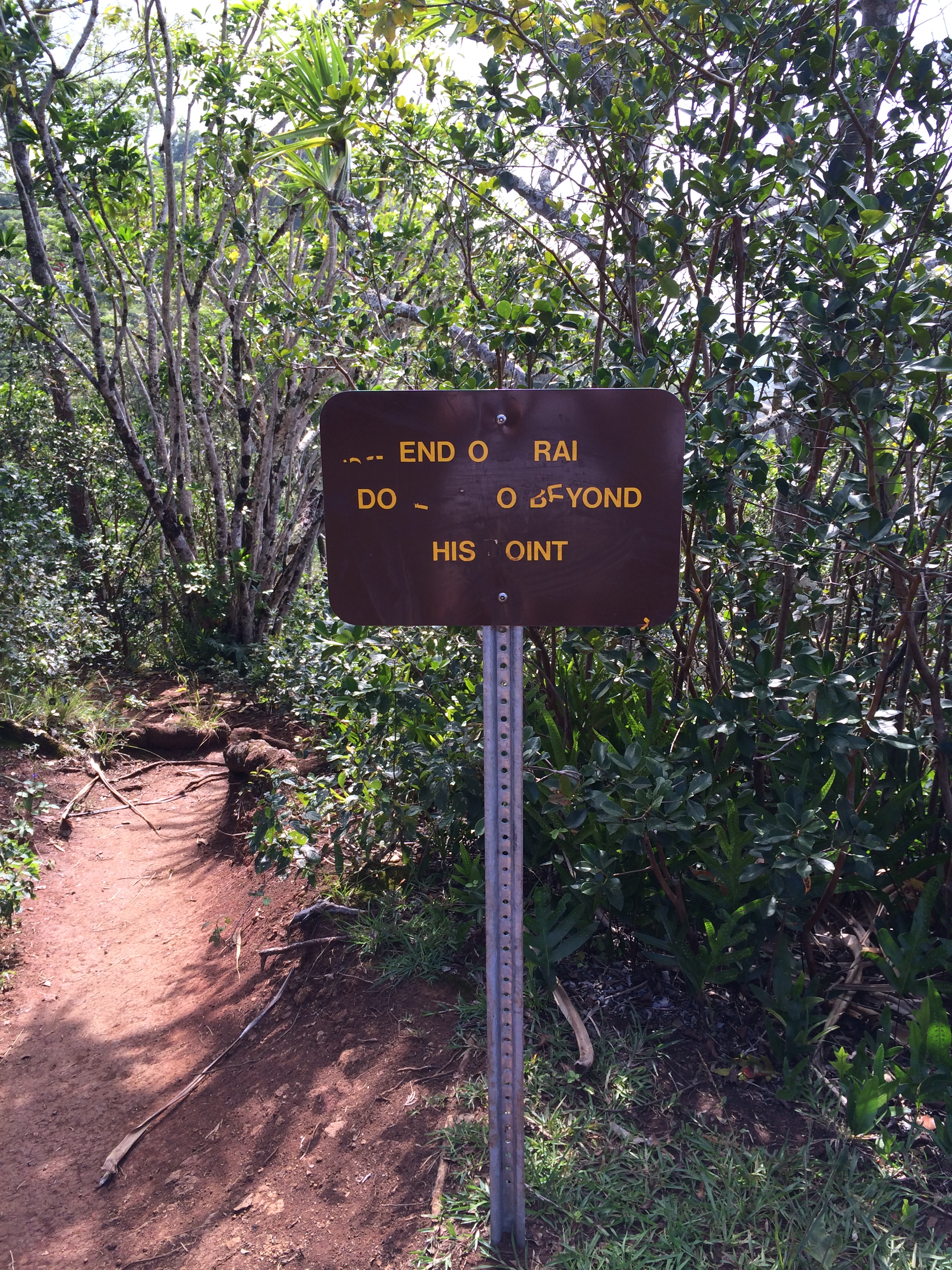
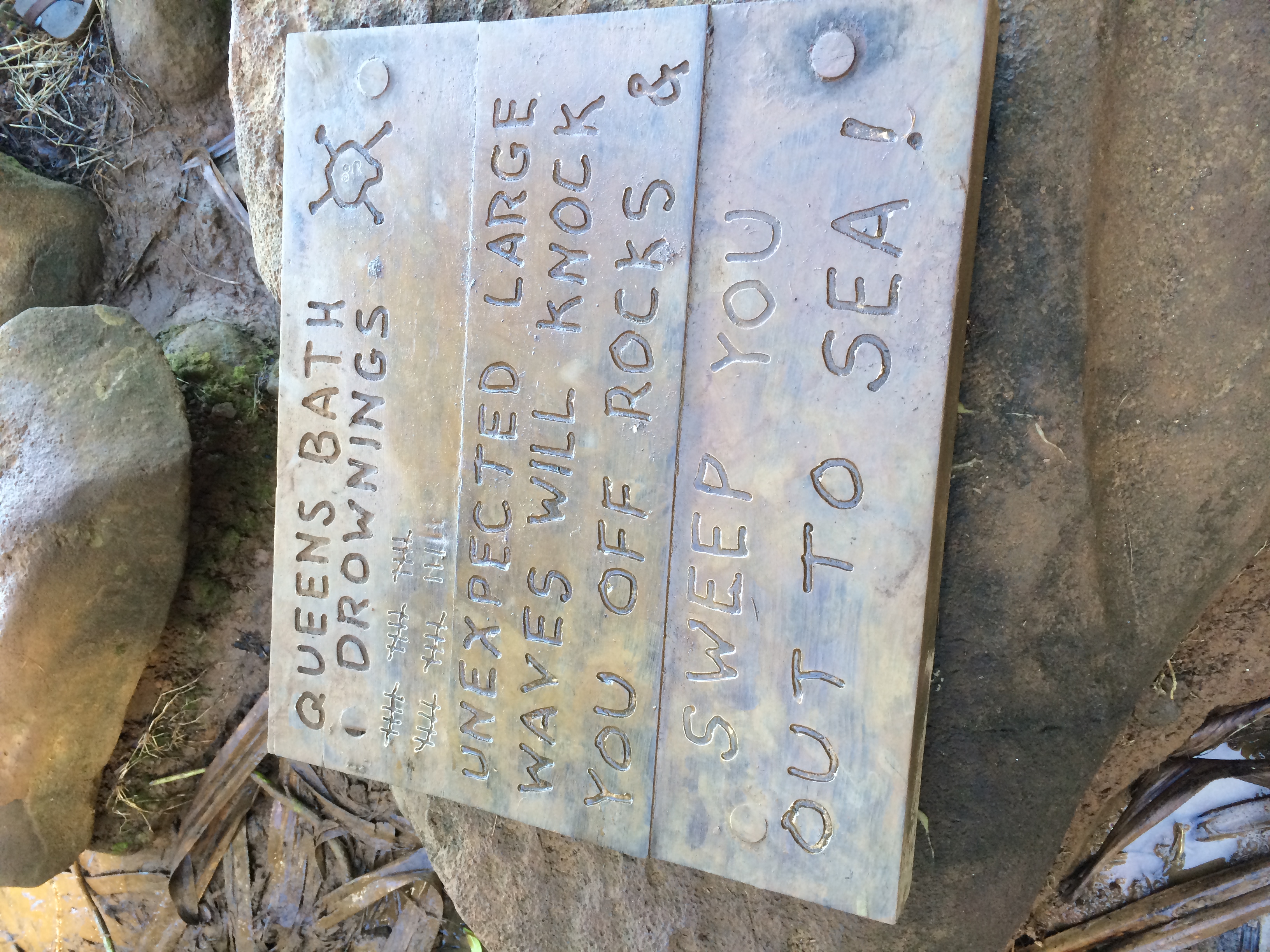
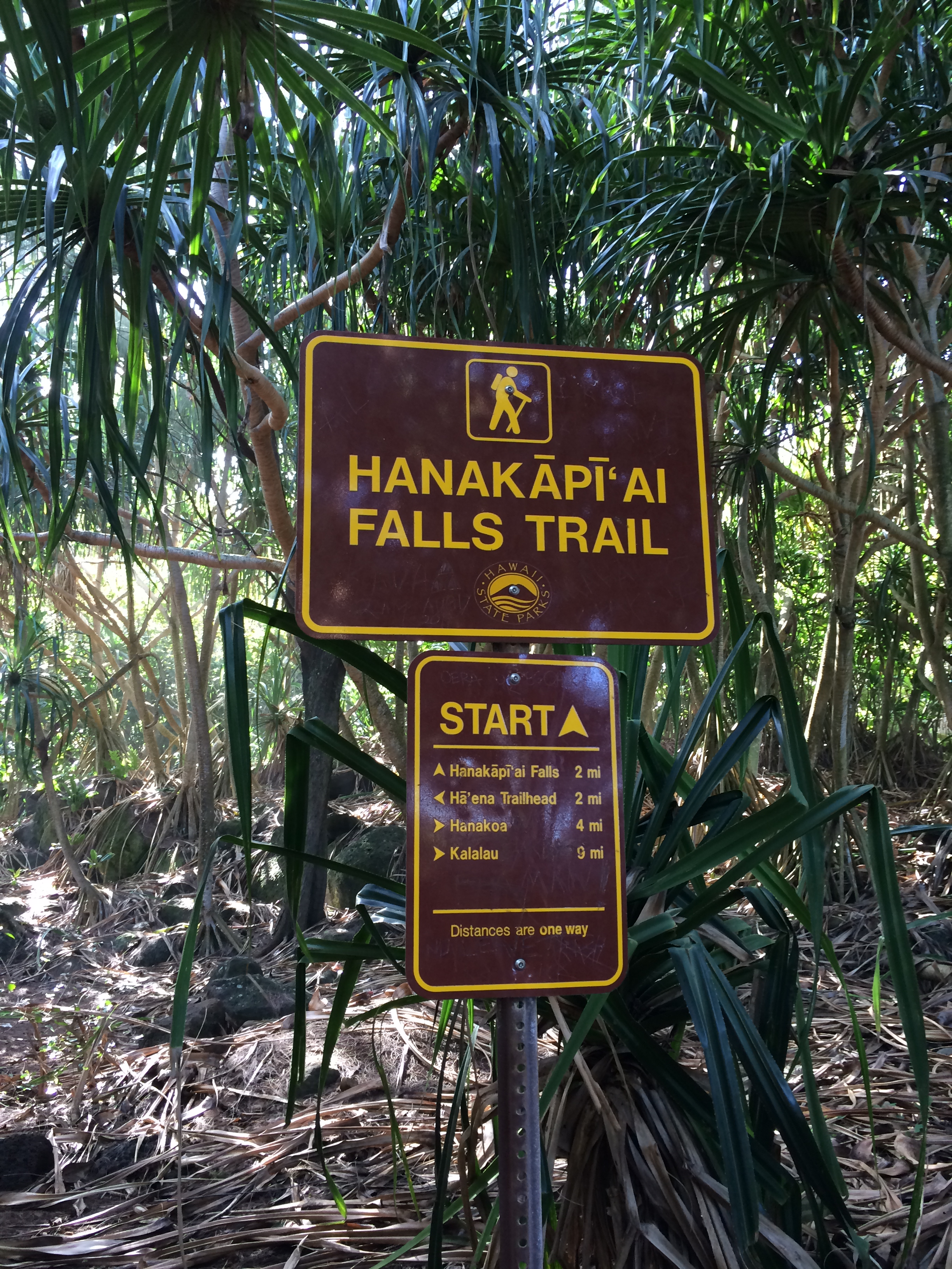
Oh – there’s that crazy sign posted near the descent to the beach –

84 people have drowned at the beach? (Is this number higher than last year?… Who’s keeping track here, anyway?)
We’re at the beach now. I snap a photo:

Then a video
Yeah, like we’re not going swimming because of ‘unseen’ currents.
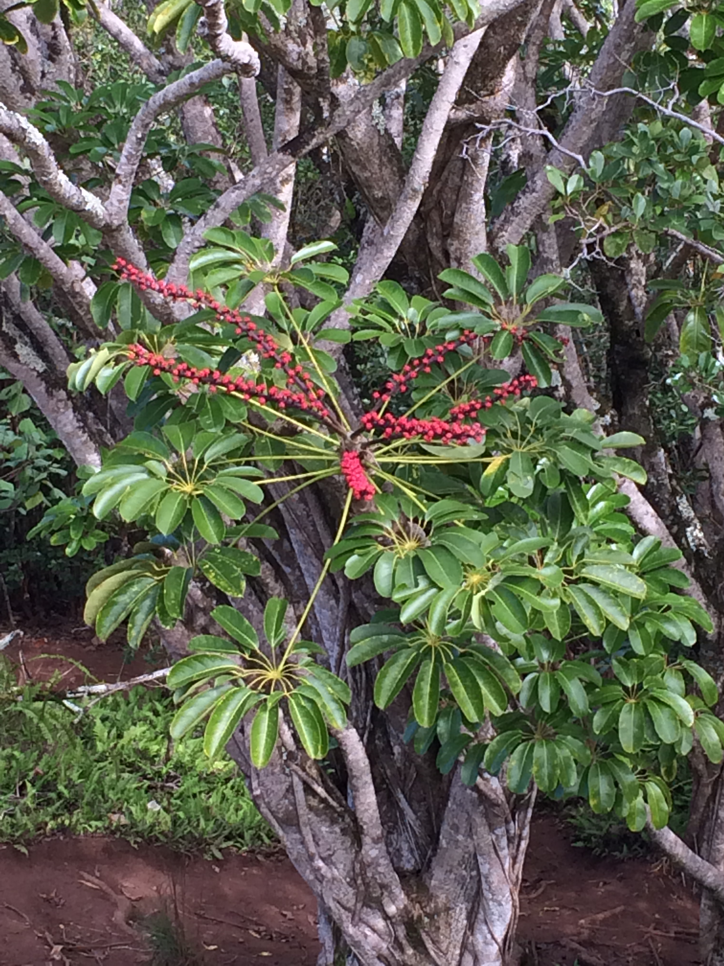
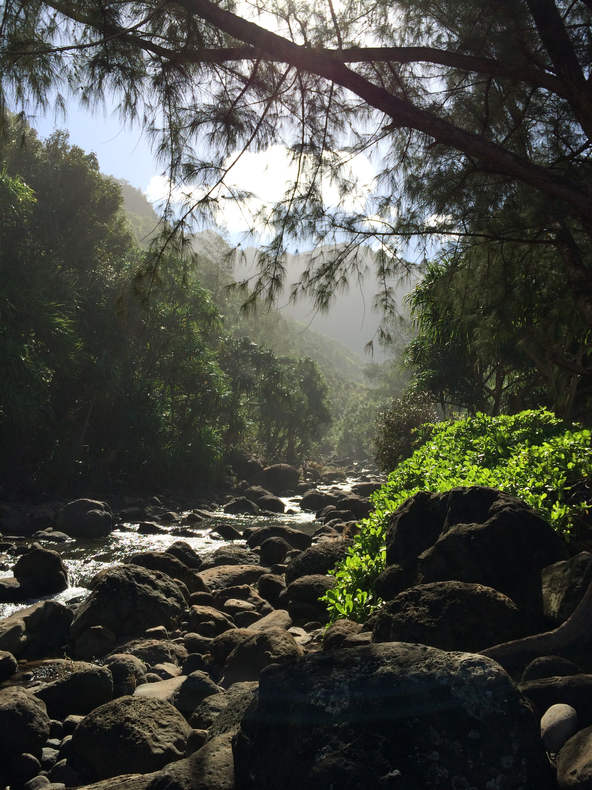
Last year there were feral cats hanging out near the beach. They’ve had goats here in the past, too, but no sign of either one this year. What did we see? A mouse! Ha. (It’s true.) Anyway, here is a shot of the canyon leading up to the falls.
‘Paradise.’
We crossed that stream (the Hanakapi’ai stream, of course) to get to the beach. Looks serene now, but I wouldn’t want to attempt the crossing after a considerable rain. In fact, I’d be heading back to the trail head now, if it started to rain. But the weather remains accomodating and exquisite.
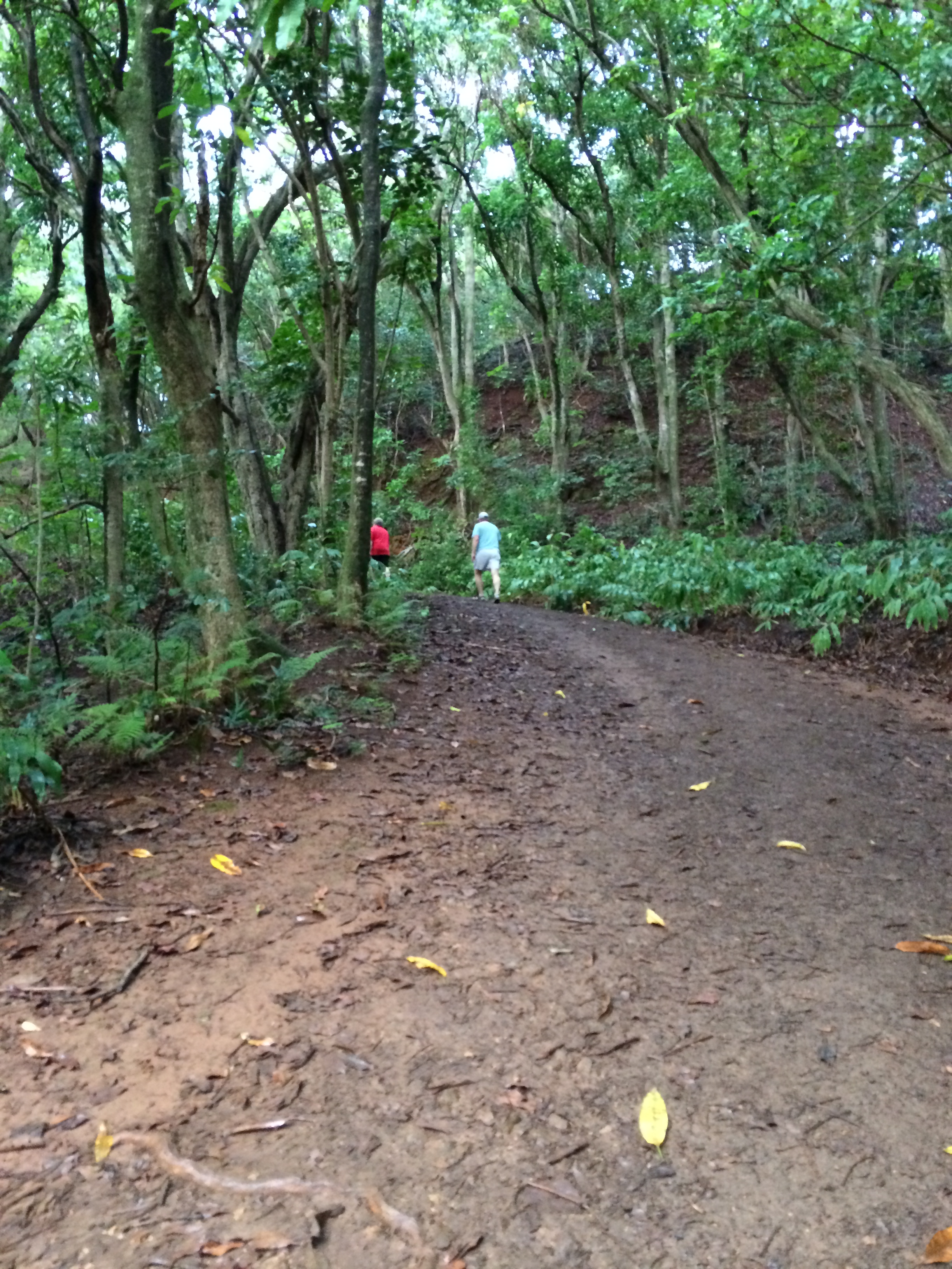
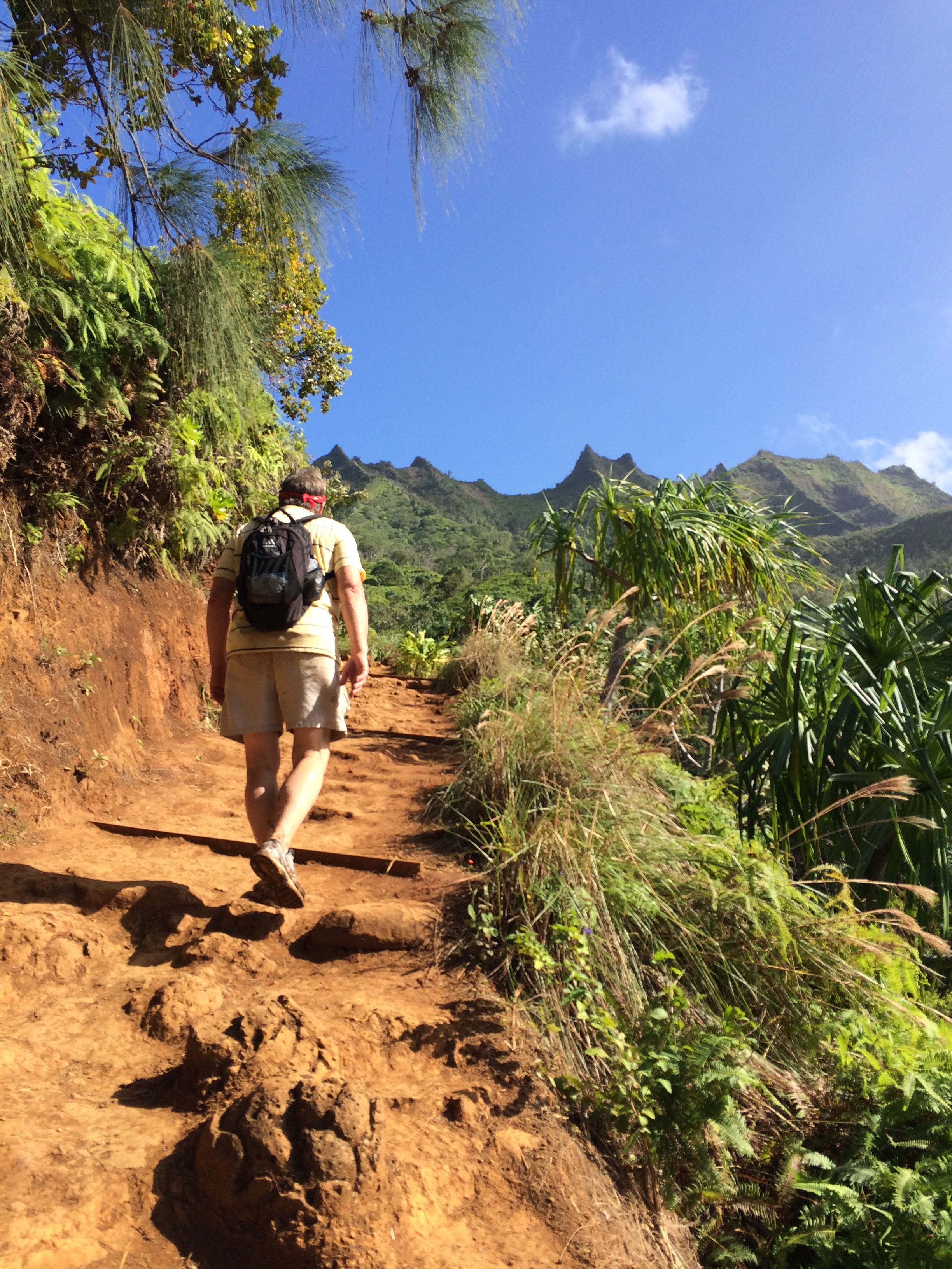
Hitting the trail now toward the falls.
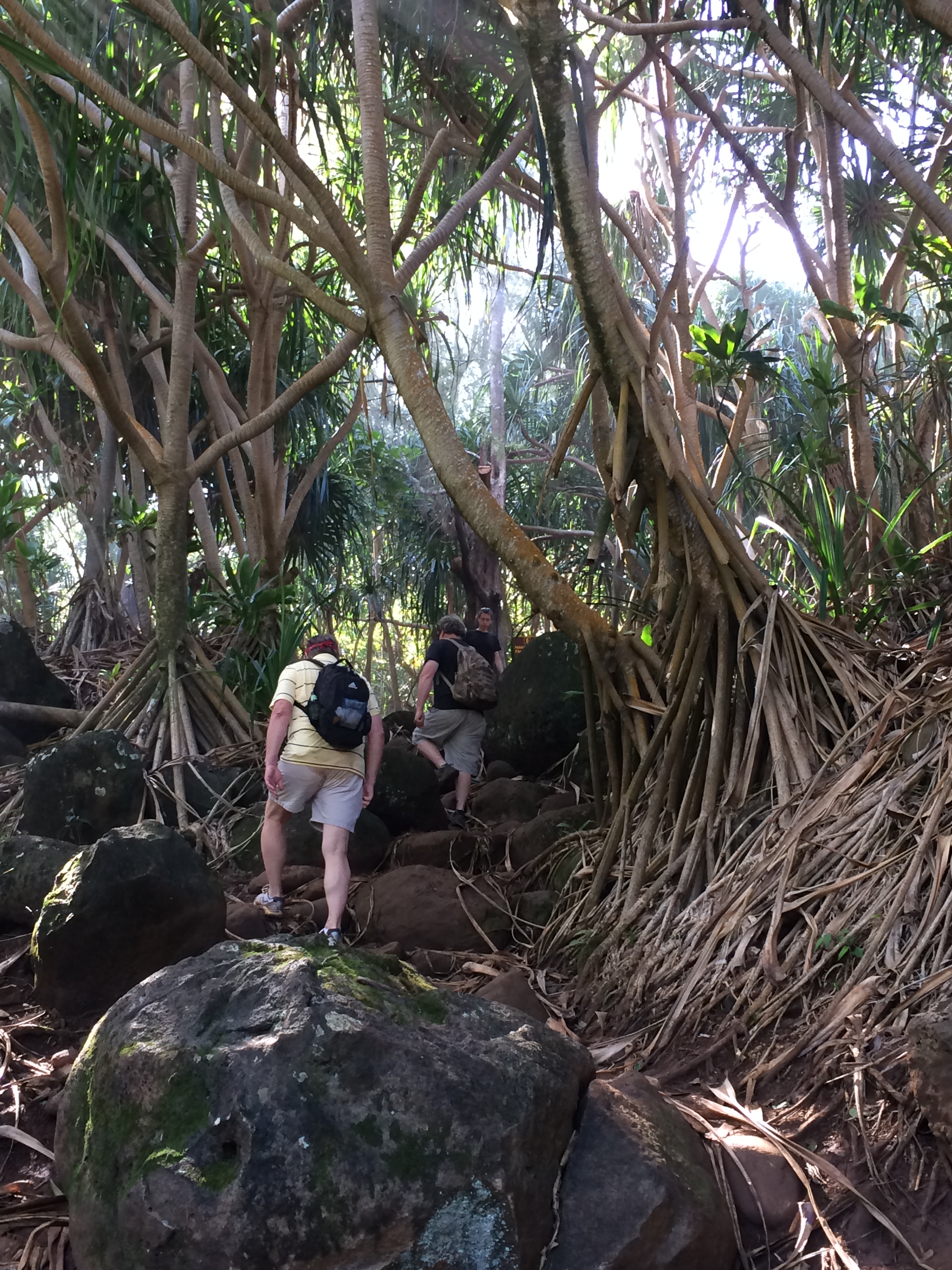
Yep. It’s rocky. And muddy. I was careful not to get my shoes wet on the first river crossing, but just plunged my feet in the water by the time we crossed it the third and fourth time. There were five river crossings on the 2-mile hike to the falls.
We passed several outcroppings of bamboo.

Not your average plant, height-wise
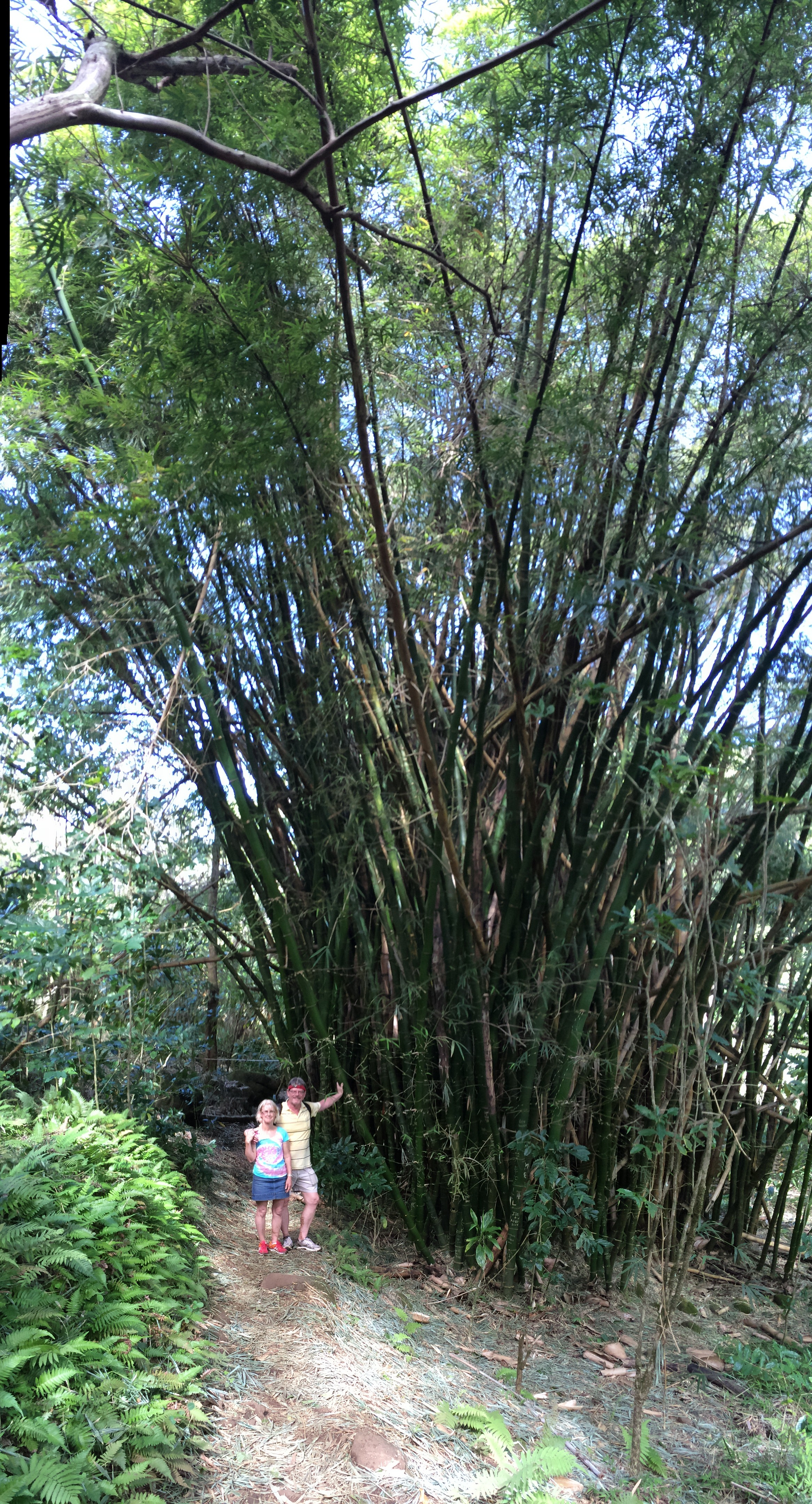
Great chair material for the Sleeping Giant, you know, in case he wakes up.
The falls have come into view!

I hardly take any photos getting to the falls. Too busy watching my footing with so many river crossings.
But don’t worry. I make up for the dearth of photos at the falls. (Are you ready for this?… turn up your sound…)
Close your eyes.
Now open them… play the video:
You’re there!
The falls are 300 feet high. Incredible.
First photo. Eric eating a sandwich …
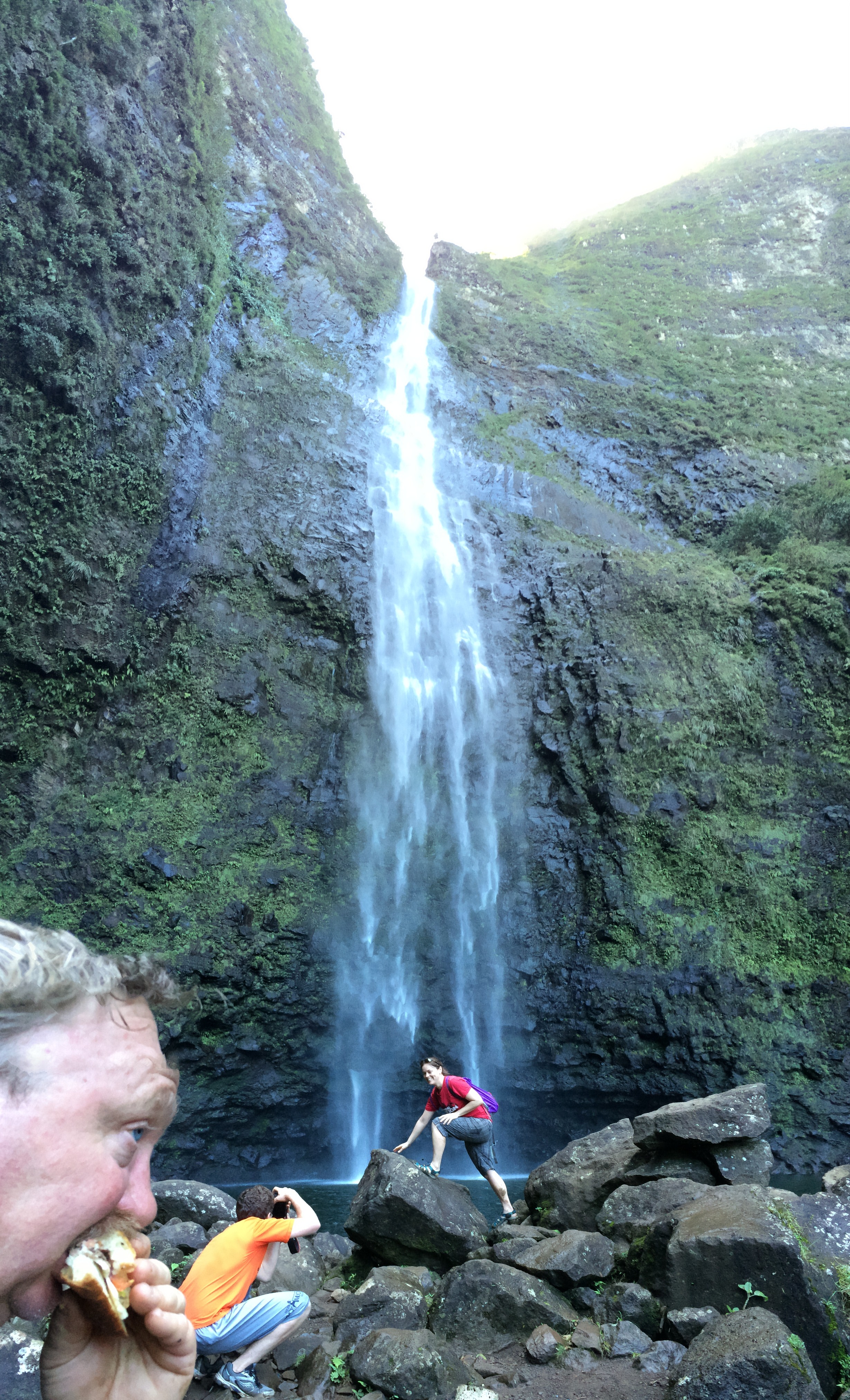
Okay, so I had to capture a ‘picture-perfect’ photo of that hot, cute, young female posing in front of the falls. No idea who she is.
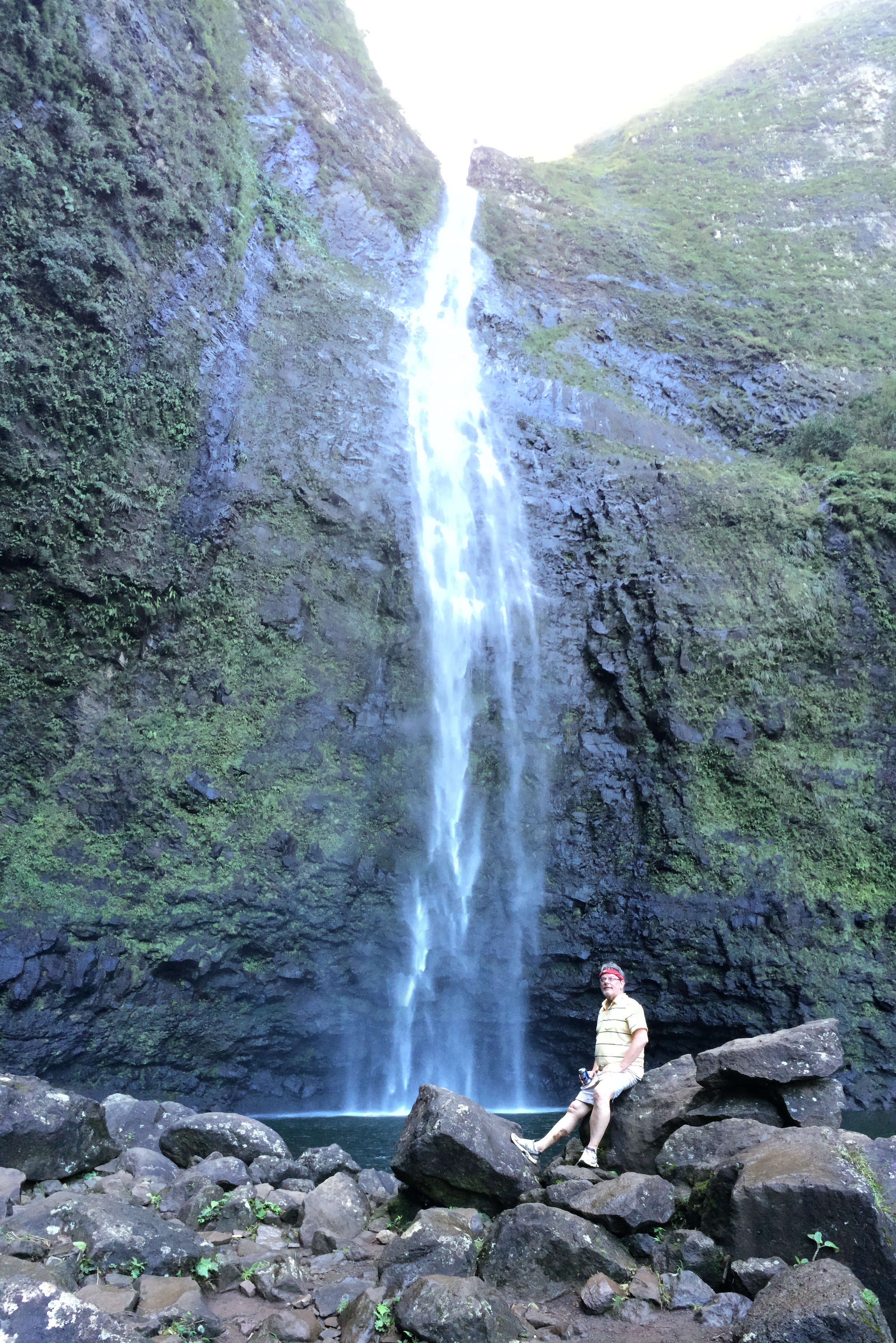
My turn:

Uh, maybe not as ‘picture-perfect’. How did David put it? … “The other girl’s body might be hotter, Jody, but your outfit is hotter.” (Thank-you for the kudos, honey) A photo of about anything with that falls as a backdrop qualifies as a fabulous photo.
Thus, Eric:

David:
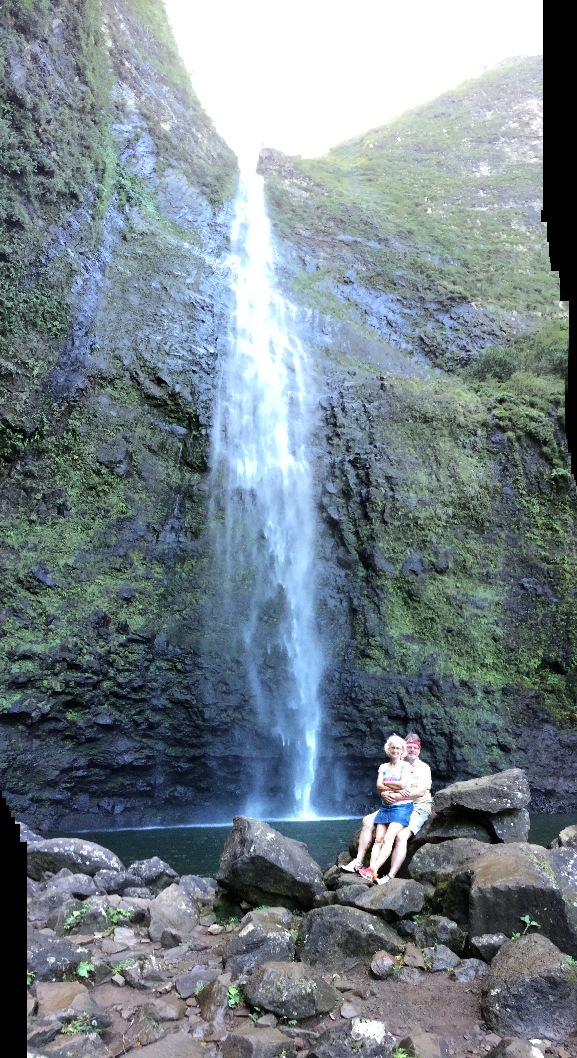
David and me:
“Enough already!” You say?
One more video?
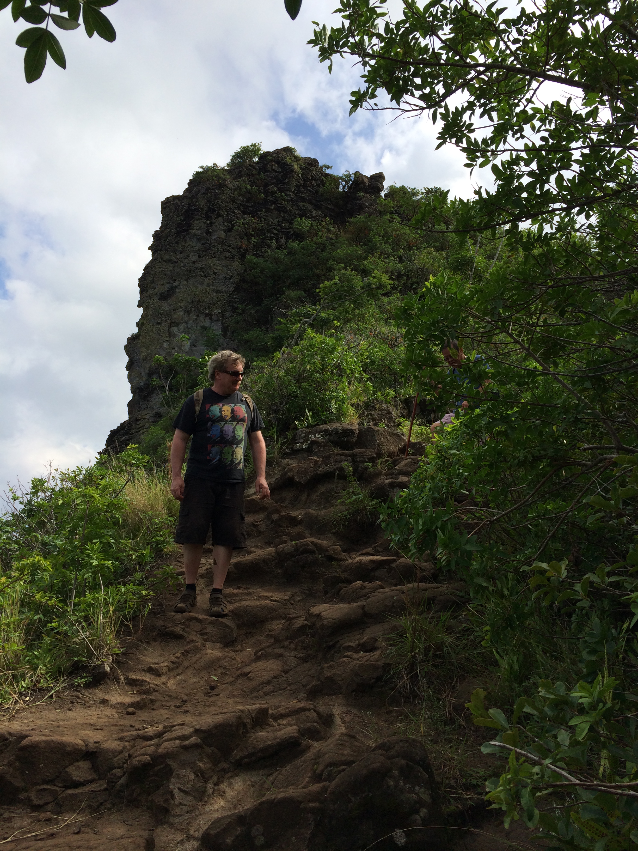
Okay so now we have to hike the four miles back to the trailhead.
No stopping at the beach. We just keep going, and going. Is that the trail ahead on that next ridge?

Yep, sure is. Working our way toward it now
across a pretty rough stretch of muddy rocks.
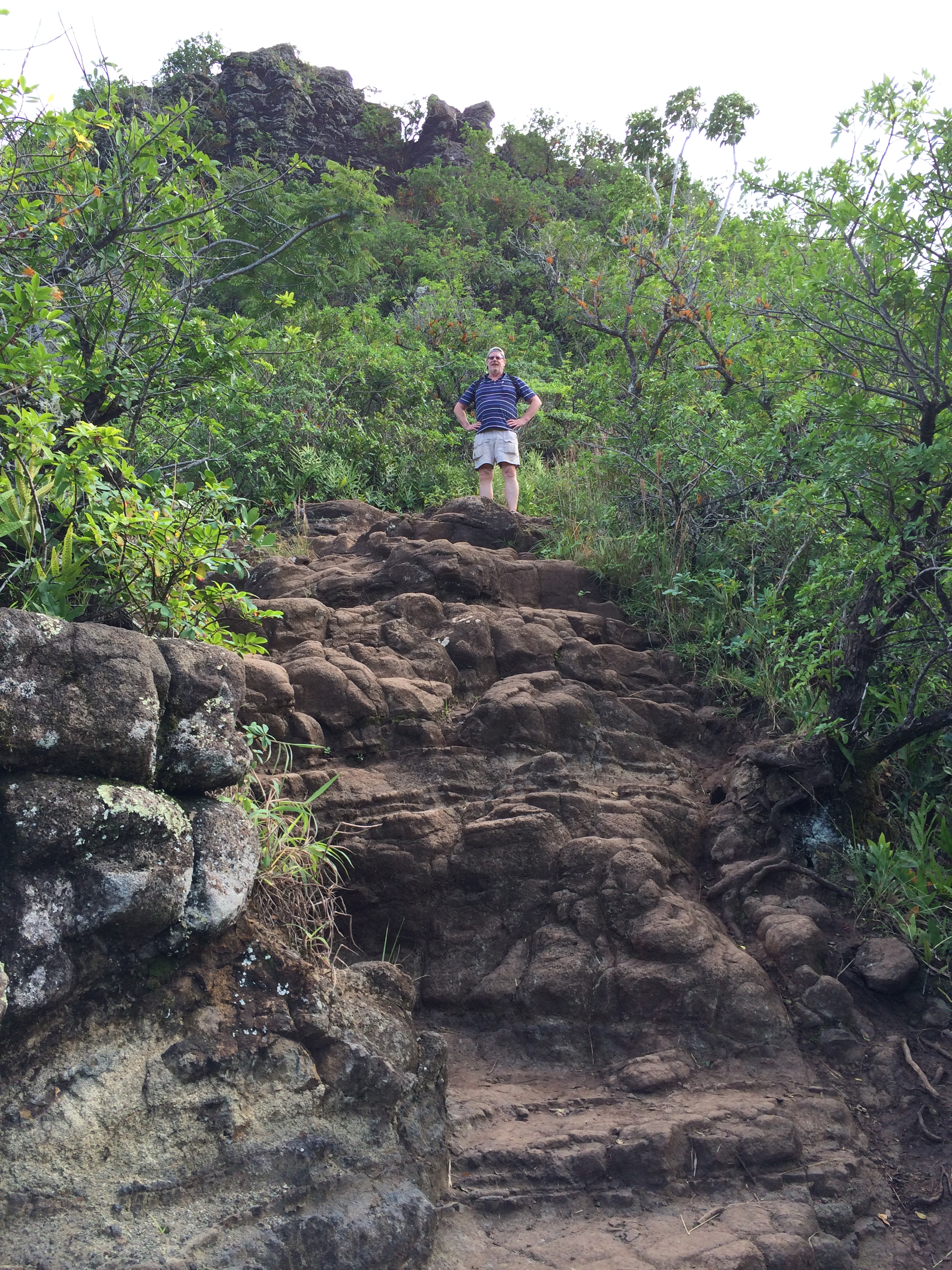
We’re trudging up that ridge now
Wearing the tiredness on our bodies …
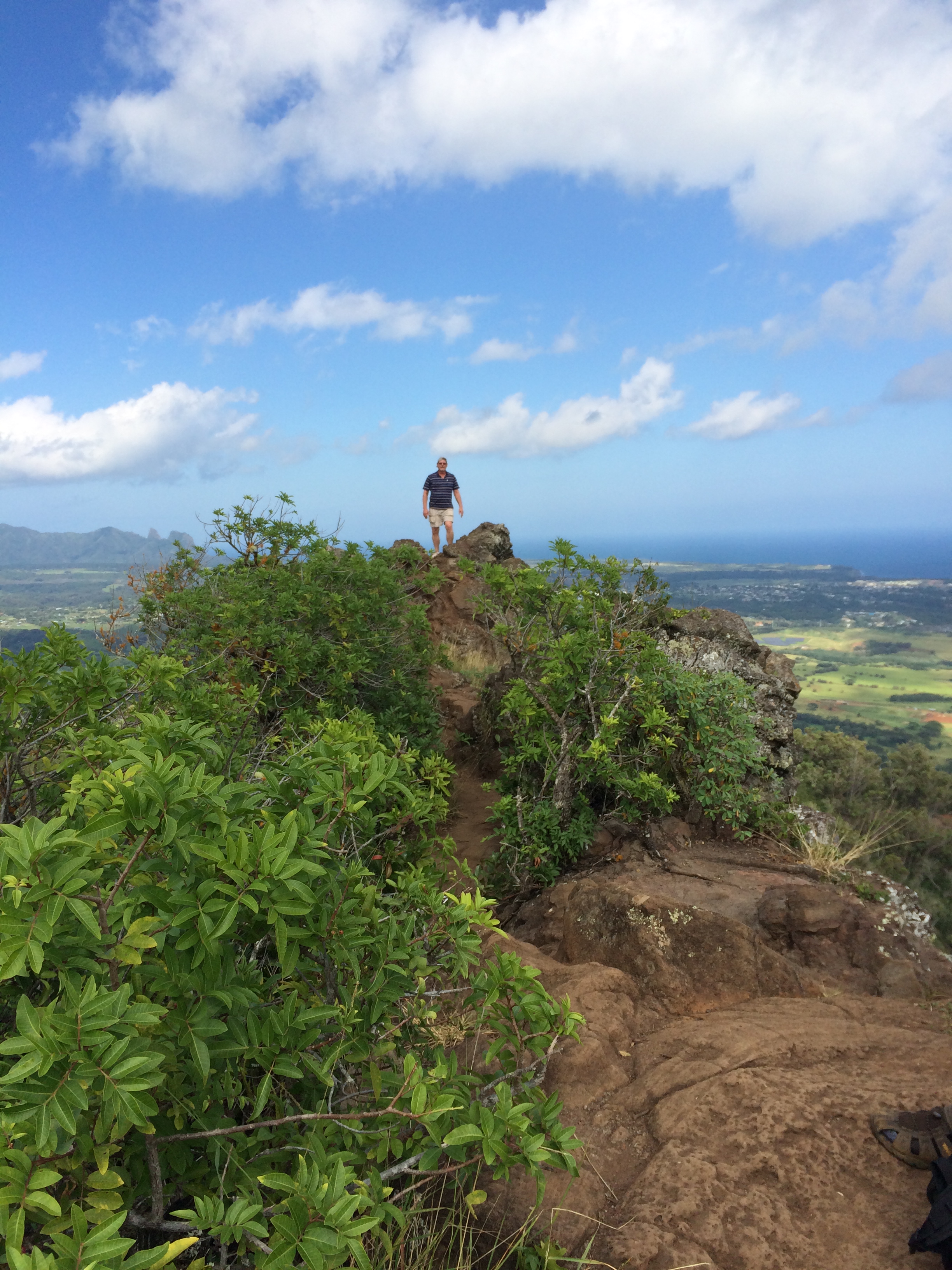
Yay! There’s the ocean! Ka’e beach (and the trailhead!) can’t be too far now …

Yeah, right. It seems to take forever to get there.

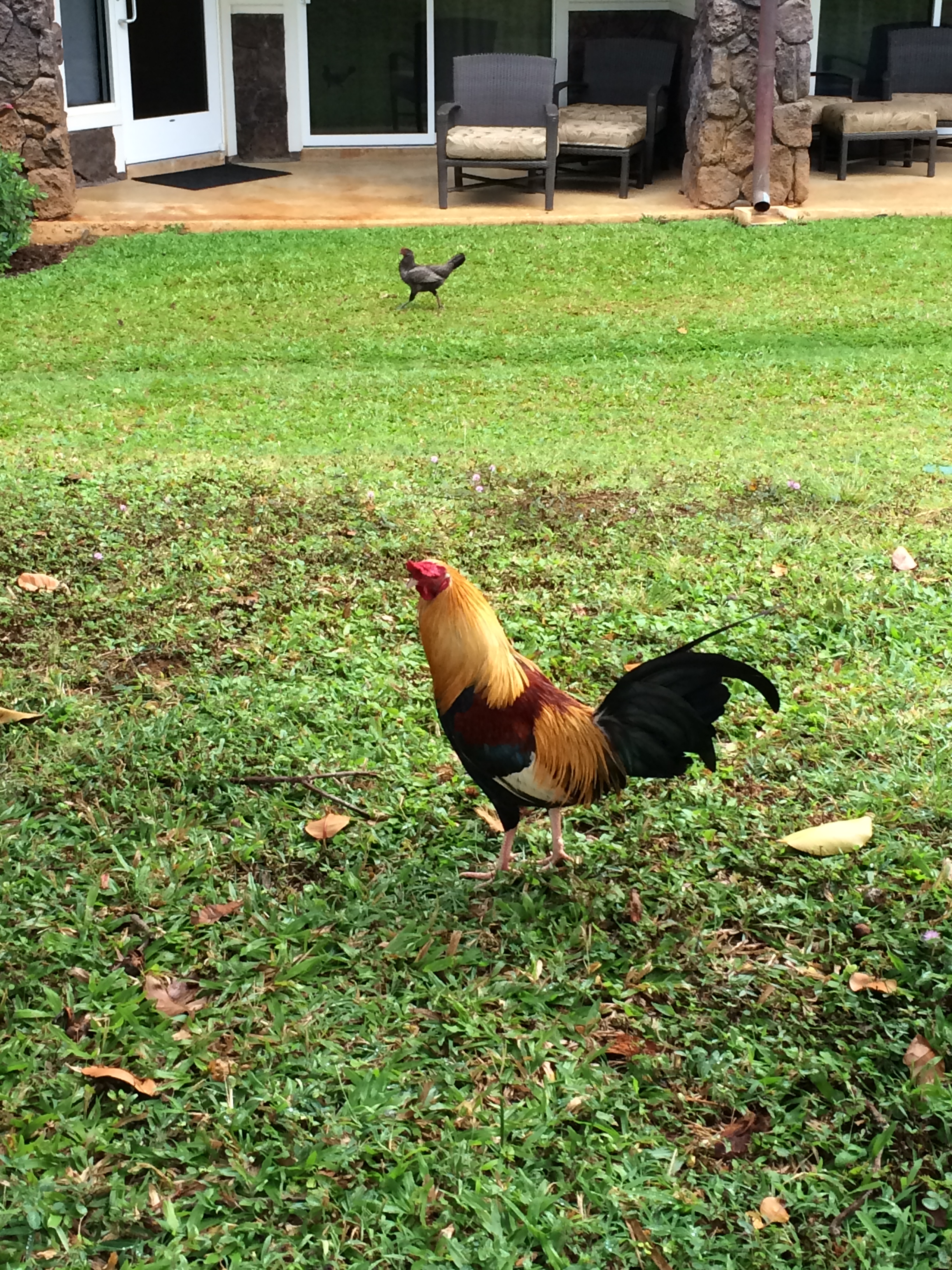
But we make it back to the entrance.

A rooster greets us at the trail head, from where we started six hours ago
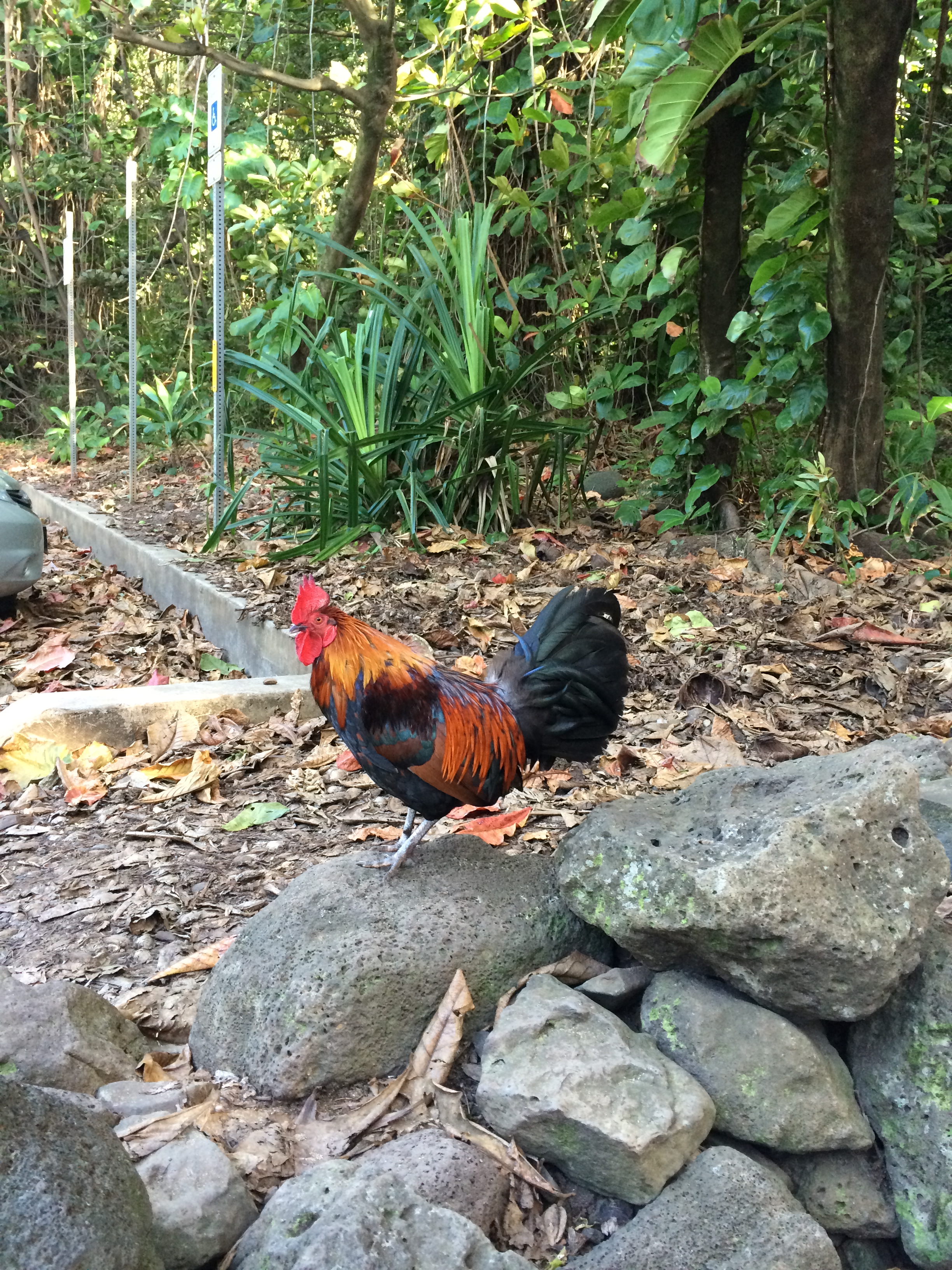
As if to remind us to pause, take it in!! Savor it. “Pinch yourselves if you have to!”
The wonders of Kauai!
Tomorrow is our last day. In the evening we catch the red-eye back to Idaho. We’ve got to squeeze every bit of adventure we can out of the time we have left!
Eric is on it …